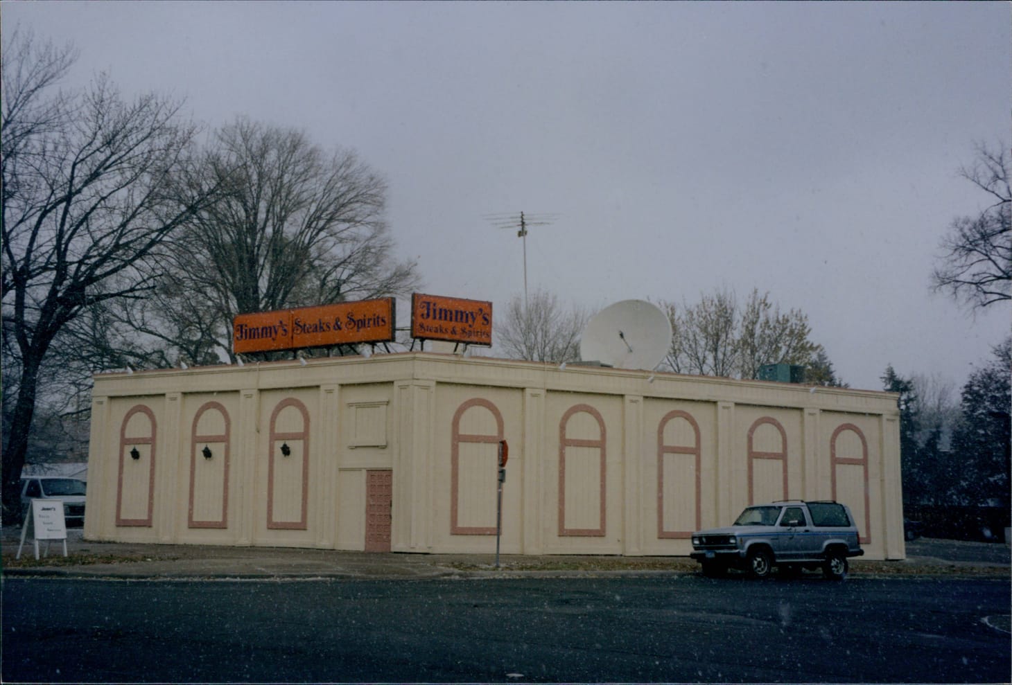
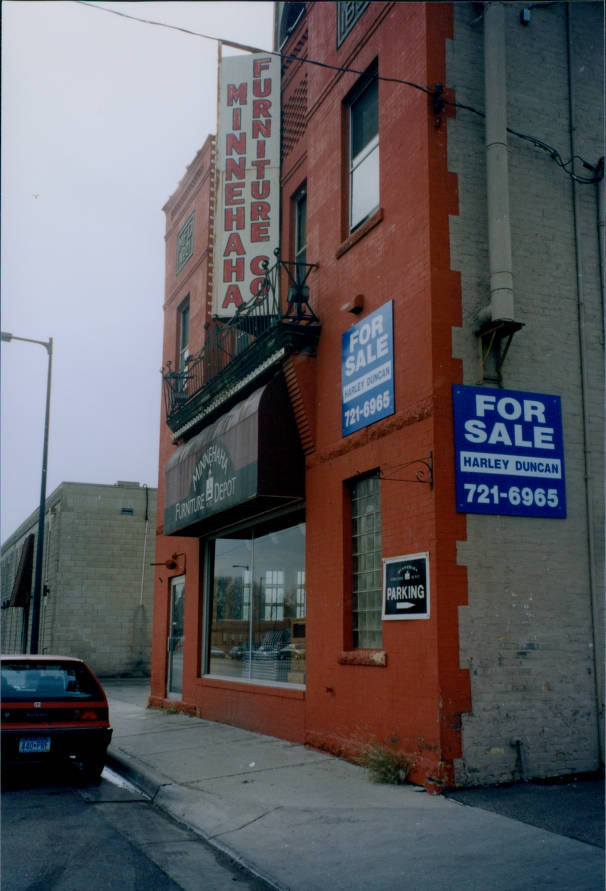
🕰️ Take a late-90s drive down Minnehaha Avenue
Via a collection of hastily taken photos by a lost-to-history municipal worker.
Last spring, we took a semi-historical drive down Lake Street via a collection of city planning photos from 1998. Per the intro of that piece:
During the warmer months of 1998, a lost-to-history municipal worker was sent on a bureaucratic chore: Take pictures of the buildings along Lake Street, among other commercial corridors, as part of the city's 1999 zoning code overhaul.
And while the resulting photos are definitely more science than art — 35mm photos hastily taken from a moving sedan, hand labeled with addresses — the results are strangely captivating. Strung together, they provide a pretty good time-machine glimpse of what a drive down the corridor looked like 25 years ago, a period of time passage that doesn't quite qualify as historic, but isn't altogether recognizable either. Today, most of the buildings remain but most of the businesses do not.
Almost all of that could be said for the photos of Minnehaha Avenue, which appear in the same collection. So, a sequel on a slow news week was inevitable.
Minnehaha is similar to Lake in that it's a neighborhood commercial corridor born from the streetcar. But it's different, too: Older, shorter, more residential, more self-contained. By some measures it's one of the oldest roads in the region, a Dakota footpath following a ridge on the edge of the prairie, which provided a direct route between Owámniyomni (later, St. Anthony Falls) and Bdote (later, Fort Snelling). Soldiers at the fort expanded the trail into a wagon road in the 1850s and a railroad line along Hiawatha in 1865 brought heavy industry nearby. When an electric streetcar opened on Minnehaha in 1890, it created the neighborhood's first commercial corridor, lined with modest homes and retail nodes, most of which still exist.
This collection finds the street in a period of limbo. The removal of the streetcar in the 1950s kicked off a decline that was worsened by the exodus of industry along the Hiawatha rail corridor and the urban core more generally. A number of commercial buildings were replaced by mid-size apartment developments in the 60s and 70s. And the decade-long conversion of Hiawatha Avenue from a city road to a highway that began in the late 80s pulled a significant amount of traffic off of the stretch.
But even against those headwinds, the fundamentals that made Minnehaha a desirable corridor never went away. It's still dotted with affordable retail space, the types of small old buildings where you can open a baseball glove repair shop, cactus store, or niche dance studio (none of which, sadly, were captured in these photos). It's still more tree-lined and bucolic than most commercial strips. And it still terminates at perhaps the most beloved park in the region.
Those factors, plus the arrival of the light rail, would yield a period of revival in the new millennium that would see a new generation of businesses and significant housing development on the southern end. But before that, there was the corridor as we find it here on a dreary day in the early spring or late fall. So let's hop in the plushy fabric seats of the Mercury Sable (or some such), grab the Kodak camera and a few extra rolls of film, and take a drive. See you at the falls.
All images courtesy of Hennepin County Library Special Collections.
Subscribe to Longfellow Whatever.
Subscribe to Longfellow Whatever for news about the fine-grained details of life in Longfellow. (Frequently asked questions)
SubscribeAlready have an account? Log in